
Lebanon Street Search Steps
A street-by-street search begins with one complete address, not a surname. The Lebanon County Property Viewer ties an address to a parcel and map number. Assessment then supplies current owner-of-record context. The recorder supplies the title trail. A historic directory can add a dated address association. These are separate findings, and the difference matters when a reader wants to understand a particular Lebanon street without turning a map result into a claim about every person there.
- Enter the full street address in the Property Viewer and choose the matching parcel, not a nearby result.
- Record the site address, map number, UPI, and deed book or page displayed in the parcel context.
- Use the owner-of-record and legal description to locate the latest conveyance through the Recorder route.
- For a voter-related question, use the Election Code process for the permitted purpose. The online status tool is not a street roster.
- For an older address association, compare the same address in a dated cross-reference directory and then verify the person through a second source.
Note: Preserve the address exactly as each source prints it, since an abbreviated suffix or older segment name can change a search result.
Lebanon Street Directory Viewer
The County Viewer is the strongest current starting point for a Lebanon street directory search because it is built around address and map-number paths. Its search configuration permits partial matches. It offers up to six suggestions and ten results for the address route, so a broad street query may need a house number or more of the street name. The county intentionally does not offer an owner-name search in this viewer. That design keeps the tool focused on a known place rather than a broad name browse.
| Lebanon Viewer field | Input | When needed | Search behavior |
|---|---|---|---|
| Property by Address, SITUS_ADDR | Free-text autocomplete | For an address search | Partial match, six suggestions, ten results. |
| Property by Map Number, MAP_NUMBER | Free-text autocomplete | For a known map number | Partial match, with the same suggestion and result cap. |
| Manufactured Home by Address | Free-text autocomplete | For that separate source | Uses SITUS_ADDR. |
| LebCo Geocoder, SingleLine | Free text | For address or map input | Marked “Search by Address or Map.” |
| Parcel click and popup arrows | Map selection | After locating the area | Choose the right feature when nearby parcels overlap. |
| Legend, measure, print, basemap | Map tools | Optional context | They describe or navigate geography, not people. |
County GIS says current parcel data was added in March 2006 and connects the Viewer with its user handbook, E911 guide, data-request forms, and county map resources. The Viewer’s legend can help identify active layers, but the reviewed County material does not publish a complete current layer list. Its disclaimer describes tax-map boundaries as approximate. For a boundary question, rely on the recorded legal description rather than a line on the screen.
Lebanon Street Popup Fields
A selected Property Lines record can show owner names, owner mailing address, site address, municipality, school district, deed book and page, acreage, assessments, sale date, and sale price. The visible parcel title normally uses the map number. The map boundary is approximate tax-map geometry, not a legal survey. Read the popup as a set of property facts and record the source date before comparing it with a deed or a historical directory.
Record limit. A listed owner is not automatically the household at the Lebanon address. The owner mailing address is where correspondence goes, while the situs address is the physical parcel. Neither field, standing alone, proves present residence. That distinction is why a useful street directory separates ownership, location, and a dated directory listing instead of merging them.
The Lebanon County Assessment page shows the County’s property-access route and the tax-bill-linked DataScout option.
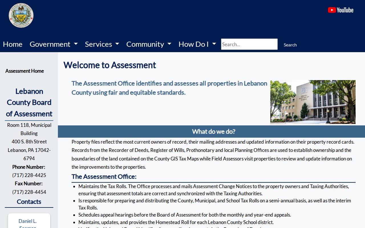
Assessment records give current owner and mailing context, while the recorded document remains the stronger source for a transfer.
Lebanon Address Record Terms
Four terms keep a Lebanon street search from drifting between map and title systems. They also help when a record uses an older address form or a subdivision reference rather than today’s street text.
- Parcel
- A mapped unit of property used by Assessment and GIS. Its displayed boundary is approximate for tax-map purposes.
- Situs address
- The physical street location of the parcel. It can differ from the owner mailing address.
- Plat
- A recorded subdivision or lot map. A lot or subdivision reference can bridge a street-address change to a deed’s legal description.
- Criss-cross directory
- A reverse directory arranged from an address to a listed owner or occupant for a particular historical year.
Lebanon UPI Deed Bridge
The street name is only the entry point. Lebanon’s more durable bridge is the UPI, the county parcel identifier, paired with the deed reference shown in the parcel record. The Recorder requires a UPI on real-estate records and uses it with the map/GIS number, parties, situs address, municipality, and prior acquisition reference to connect a transfer to the correct property. A legal description and lot language become especially useful when street text changes or a subdivision is involved.
Local search tip. Capture the map number, UPI, and deed book or page before leaving the Property Viewer. Those local identifiers make it much easier to carry a street directory result into the recorder system without relying on a reformatted address.
Where a present street address came from a subdivision, the Viewer’s Subdivision Lots layer can supply a GeoPin, site address, Recorder subdivision number, Planning Department subdivision number, lot number, and acres. Keep those references with the deed description. They can connect an address that appears modern on the map to a plat or older recorded description without assuming that a name match alone identifies the same parcel.
Lebanon Street Records Table
Address-keyed sources answer different parts of a street question. The table does not create a resident list. It shows which custodian holds a defined property or historical record and where the source stops. The County’s city, county, and postal geographies can differ, so check the municipality in the parcel popup before directing a City request.
| Address-keyed record | Lebanon keeper | Useful result | Access route |
|---|---|---|---|
| Parcel and tax-map context | County GIS and Assessment | Map number, UPI, site address, current owner context | Free Property Viewer; Assessment counter. |
| Property file and tax rolls | Board of Assessment | Owner of record, mailing address, property-card information | Assessment route; DataScout needs tax-bill credentials. |
| Recorded conveyance | Recorder of Deeds | Parties, legal description, recording placement | LANDEX account or WebStore, copies, or counter. |
| Permit or zoning file | City Building and Zoning | Defined application, project, or inspection trail | City office or a narrow RTKL request. |
| Code record | City Code Enforcement | Addressed notice, citation, or formal file | City contact or defined RTKL request; no public lookup found. |
| Historical cross-reference volume | Lebanon County Historical Society | Dated owner or occupant clue | Research Archives collection; City coverage is not complete outside the City. |
For a question that shifts from a whole street to an older address association, the collection details belong with the Lebanon city directory collections. The modern map and recorder chain remain the useful first check for the present parcel.
Lebanon LANDEX Street Limits
LANDEX is the Recorder’s document route, but it is not an address-search screen. Its General search works by county, document type, party name, and optional date range. Instrument Number and Book and Page modes use known recording references. Wildcards can help with name variants, yet the search can cap at 250 name matches, so a narrow party query and the popup’s deed reference are more reliable than a broad surname.
The deed index is also split by era. County-designated LANDEX data lists deed index coverage for 1813 through 1878 and 1922 to the present. Deed images cover 1813 through 1878 and 1926 to the present. The 1879 through 1921 index gap needs a Recorder counter or historical alternative, and the early 1920s may have index information without the later image coverage. Remote access uses an account model; WebStore provides browser-based document access and payment. Certified copies come from the courthouse.
The DataScout property-information screen is a credentialed path tied to a tax-bill control number and web password, not a broad address browse.
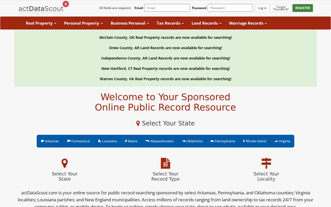
Use the free Viewer to establish the parcel first, then use DataScout only when the stated tax-bill credentials are available.
Note: A failed LANDEX search can reflect a route or era limit, so confirm the coverage period before treating it as an absent record.
Lebanon Street Permit Records
A defined City file can date work or an official notice at a Lebanon address. Building and Zoning reviews and issues permits, maintains applications and permits, inspects compliance, and keeps map and ordinance records. Code Enforcement describes door-hanger, ticket or instant-citation, formal-notice, and non-traffic-citation notices. No public City address-search database was verified, so a request should identify the address, record type, and time period rather than ask staff to assemble a street list.
The City Code Enforcement page identifies the office and its notice types.
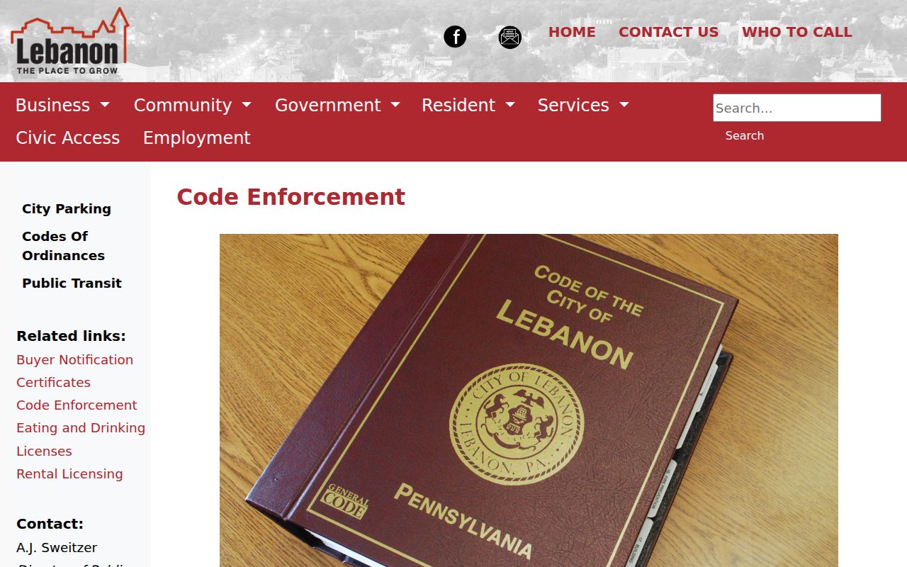
A permit, application, or notice dates an administrative event. It does not establish the full household at that address.
The City’s 2026 Buyer Notification Certificate is another address-specific administrative record. It asks for the property address, current owner, purchaser, use, settlement date, and related contact information, but it is a City request form rather than a public self-serve address index. Treat it as a possible dated sale-condition lead only after confirming that the City holds a record for the defined property and period.
Lebanon Street History Clues
The Lebanon County Historical Society keeps a comprehensive Lebanon City cross-reference directory collection, along with a county deed-index microfilm run from 1813 to 1932. The reverse volumes can place a listed owner or occupant at an address in a stated year, but the Society cautions that outlying areas are not fully covered. Those facts make the collection a useful historic street directory layer, not a current street roster.
For a longer backward trail, pair the cross-reference clue with the recorded deed and a dated telephone directory. The Library of Congress collection covers Lebanon telephone directories from 1940 through 1948, with white and yellow pages as printed. A telephone subscriber or business entry is an association for that edition, not proof of title or a full household. More detail on a single past address is available through Lebanon past residents records.
Lebanon Street Address Continuity
Address formatting affects every Lebanon street directory search. The County E911 Addressing Guide uses a standardized road name, suffix, direction, and unit pattern and generally numbers from an origin. It is a current addressing guide, not proof that every older City address followed the same pattern. Before rejecting an old listing, search the recorded address form, compare the legal description, and check the current map number or UPI.
There is one documented local warning. City Council material records a 2021 change to a Walnut Street segment west from Edison Street to North Tenth Street, but the reviewed source does not establish the replacement name. Use current GIS and the deed description alongside the older wording. No official source reviewed establishes a citywide renumbering or renaming chronology.
Lebanon Street Directory Limits
A street directory can identify property records, dated listings, and administrative files. It cannot reveal every person in a structure, protected address, utility customer, driving-record address, or private contact detail. Pennsylvania’s Address Confidentiality Program can place an alternate mailing address in several public systems for eligible participants. Court, vital, and voter records also have their own access rules. A missing name or different mailing location is not evidence that a person does not exist or never used the address.
Lawful use. Lebanon street and address records are for personal historical or civic research. Do not use a name, map, or record to stalk, harass, intimidate, or harm anyone; Pennsylvania law prohibits harassment and stalking.