
Lebanon Neighbors in Block Records
The public record layer around a Lebanon address is parcel based. The County Property Viewer can show the site address, parcel geometry, map number, listed owner, owner mailing address, deed book and page, assessments, and sale details for a selected Property Lines polygon. The Recorder can then supply recorded-document evidence for that specific parcel. These sources answer a property question, not the broader question of every person living on a block.
| Block source | What it can establish | Access and limit |
|---|---|---|
| County Property Viewer | Contiguous parcels, site addresses, map numbers, owner fields, deed reference, and assessment context. | Free map interface; boundaries are approximate and owner is not the entire household. |
| Recorder of Deeds | Recorded parties and title evidence for a chosen parcel. | LANDEX account or WebStore, courthouse copies, and historic coverage gaps. |
| City property files | Defined permit, code, zoning, or Buyer Notification Certificate material. | Counter or a narrow RTKL request; no public address-case index was found. |
| LCHS cross-reference directories | Dated owner-or-tenant clue for a Lebanon City address. | Historic collection with incomplete outlying coverage. |
| Community organizations | Voluntarily published civic organization contacts. | Public contact layer, not a membership roster. |
A listed mailing address belongs to the owner’s correspondence record. It may be different from the site address, and neither field alone proves that every current neighbor or household member lives at the parcel.
Lebanon Parcel Popups for Neighbors
The viewer was designed to protect privacy by omitting owner-name searching. Begin with a physical Lebanon address or map number, then select the correct parcel. The address configuration supports partial matches and returns up to six suggestions and ten results. A map click can select a parcel, and popup arrows help when nearby features overlap. The map also provides legend, measure, print, and basemap tools, but those are geographic controls, not a neighbors filter.
The Property Lines popup differentiates Owner, Owner Second Listed, Owner Third Listed, Owner Mailing Address, and Site Address. It can also show municipality, school district, deed book and page number, acreage, land and building assessment, total assessment, sale date, and sale price. Preserve each label as displayed. Joining them into a single block roster would erase the difference between ownership, correspondence, and physical location.
Note: A map measurement can describe distance or area, but it cannot define legal adjacency or identify a person.
Map a Lebanon Block Parcel by Parcel
Use a focal property and work from the documented parcel layer outward. Contiguous polygons are a better starting point than a guessed radius. Keep a separate record for each map number and do not merge nearby lots just because they look close on screen. The County warns that its tax-map boundaries are approximate, so a deed’s legal description is the stronger source when an exact boundary matters.
- Enter the focal Lebanon address in the County Property Viewer and verify the matching site address.
- Capture its map number, UPI when shown, owner fields, deed book and page, municipality, and the date accessed.
- Pan to each contiguous Property Lines polygon and use popup arrows for overlapping features.
- For a genuine title question, use the deed reference or party information in LANDEX or ask the Recorder about copies.
- For a dated City work or condition question, request the defined permit, zoning, or code record by address and date.
The Lebanon street address directory is the better route when the question expands from immediate parcels to a full named street and its deed chain. A block view should remain parcel by parcel.
Lebanon Neighbor Deed References
A deed book and page in the popup is a bridge to the Recorder, not an address-search key. LANDEX searches recorded material through party, instrument, book-and-page, date, and document paths. The reviewed service does not offer a house-number search. Its General search requires a county and one or more document types; name searching also needs a first name when a person search is selected. A known UPI, deed reference, seller, buyer, or legal description produces a more reliable query than a street name alone.
Lebanon’s deed coverage is uneven online. Index data is verified for 1813 to 1878 and 1922 to the present, while images are verified for 1813 to 1878 and 1926 to the present. For the 1879 to 1921 index gap, the Recorder counter and the Lebanon County Historical Society’s 1813 to 1932 deed-index microfilm are the documented fallbacks. Each result should be treated as a dated property record, not a current resident claim.
Lebanon City Files by Address
City Building and Zoning maintains applications and permits, conducts inspections, and keeps map and ordinance records. Code Enforcement identifies door hangers, instant-citation tickets, formal notices, and non-traffic citations among its notice types. Neither City source exposed an online public case search. An address-specific question therefore needs a defined record type and date range rather than a request for a general neighbor list.
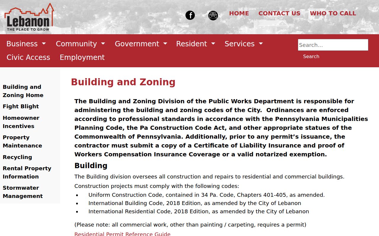
Lebanon Building and Zoning describes the City’s building-only, zoning-only, and combined application paths. The displayed City page is a useful entry point for knowing which office holds an application, but its forms do not establish who lives at the property.
For a file not posted online, the City Clerk is the Open Records Officer. The City accepts a written request in person, by email, or by fax, and requests should reasonably identify the existing record and preferred response format.
Lebanon Community Contacts, Not Rosters
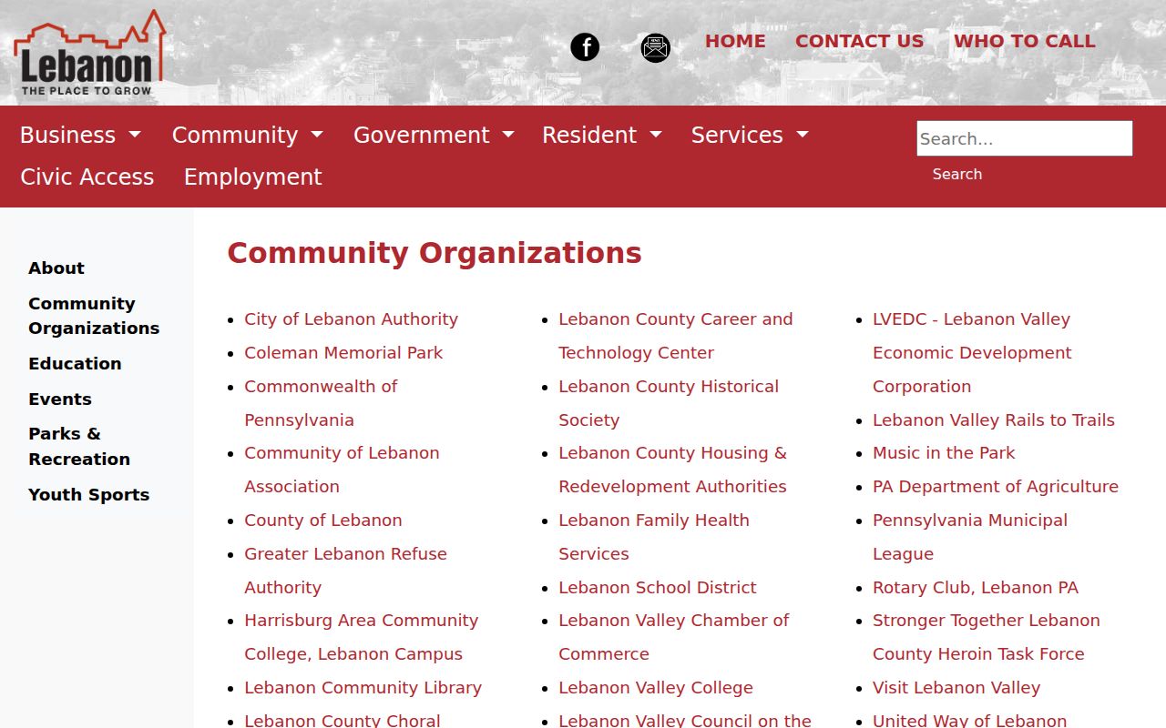
The City’s community page is the verified public community layer. It links organizations including the Lebanon Community Library, Community of Lebanon Association, Rotary, United Way, and Visit Lebanon Valley. No authoritative City inventory of neighborhood-association memberships, HOA boundaries, block-watch rosters, or private resident contacts was found. Treat these links as ways to find publicly offered organizations, not evidence that a person belongs to a group or lives nearby.
United Way and Rotary
Public community organizations named on the City listing.
The City community organizations page is shown below. It is a civic contact directory, not a directory of Lebanon neighbors.
Voluntary public roles on an organization page must not be used to infer a home address, membership, relationship, or proximity to a parcel.
Lebanon Neighbors and Historic Directories
For a historic block, pick one documented year and identify the source type. The Lebanon County Historical Society holds comprehensive Lebanon City cross-reference directories that can provide an owner-or-tenant clue at an address, but it cautions that not all outlying areas are covered. The Library of Congress telephone directories cover March 1940 through June 1948, with a verified reel reaching 1957. A telephone subscriber is a dated clue, not title evidence or proof of present residence.
A 1896 Sanborn map can add building and street context. Pair it with the directory year, deed period, and exact address form. That creates a historical snapshot of the block without falsely turning past names into a current neighbors list.
Lebanon Neighbors: Official and Commercial Records
Official sources identify their custodian, date, and scope. A commercial category of neighbor-lookup tools may combine many records, but it can be stale, incomplete, or wrong and does not correct the county record. For a parcel question, start with the County map, Assessment, Recorder, or City office that holds the underlying document.
| Source type | Strength | Limit |
|---|---|---|
| Official parcel and deed records | Identifies a named parcel, date, and custodian. | Owner fields do not list all residents, and access may be limited by record type. |
| Commercial neighbor tools | May offer a broad lead that needs independent checking. | Can mix dates and people; it is not the authoritative Lebanon record. |
| Historic directory collections | Places a printed owner, tenant, or subscriber at an address in a stated year. | Coverage varies and the entry is not proof of current occupancy. |
Lebanon County’s own offices also give a reader a way to ask what a record means. Assessment can explain property-file access, the Recorder can explain copy and certified-copy procedure, and the City Open Records Officer can route a defined City request. That custodian-first approach is slower than treating a combined result as fact, but it preserves the source date, parcel, and legal limits that a responsible Lebanon neighbors search needs.
Privacy Limits for Lebanon Neighbors
Many facts that people assume appear on a block map do not. The public parcel layer does not list every household member, utility customer, delivery recipient, protected address, or voting choice. Pennsylvania’s Address Confidentiality Program can provide eligible participants an alternate mailing address for voter registration, court and state records, marriage licenses, utility bills, and other listed records. A missing or mismatched address can be a safety protection, not an invitation to search around it.
Voter information is governed by the Election Code. The personal status screen is not an open block browse, and the regulated list request has restricted declared uses and no-internet-publication conditions. Court, vital, and DMV records have their own limits. A no-result should not be converted into a claim that a person never lived in Lebanon.
When a Lebanon block record raises a real question, verify it with the named custodian and retain only the detail needed for that question. The Recorder, Assessment, City Clerk, and historical repository each keep different dated material. Respecting those source boundaries protects both the record trail and the people whom a limited public record does not identify.
Lawful use. Use Lebanon records for a defined property, family-history, or civic question. Never use them to stalk, harass, intimidate, threaten, or harm another person.